
Union topographic map
Click on the map to display elevation.
About this map
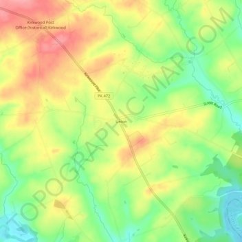
Name: Union topographic map, elevation, terrain.
Location: Union, Lancaster County, Pennsylvania, 17536, United States (39.82094 -76.08051 39.86094 -76.04051)
Average elevation: 440 ft
Minimum elevation: 276 ft
Maximum elevation: 600 ft