
Thank you for supporting this site ❤️
Make a donation
Make a donation
Gear up for your next adventure:
As an Amazon Associate, this site earns from qualifying purchases at no extra cost to you.
Jamuguri topographic map
Click on the map to display elevation.
Thank you for supporting this site ❤️
Make a donation
Make a donation
Gear up for your next adventure:
As an Amazon Associate, this site earns from qualifying purchases at no extra cost to you.
About this map
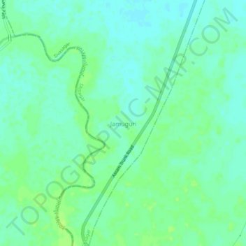
Name: Jamuguri topographic map, elevation, terrain.
Location: Jamuguri, Sibsagar, Sivasagar, Assam, 785683, India (26.85078 94.48010 26.89078 94.52010)
Average elevation: 308 ft
Minimum elevation: 289 ft
Maximum elevation: 325 ft
Thank you for supporting this site ❤️
Make a donation
Make a donation
Gear up for your next adventure:
As an Amazon Associate, this site earns from qualifying purchases at no extra cost to you.