
Thank you for supporting this site ❤️
Make a donation
Make a donation
Gear up for your next adventure:
As an Amazon Associate, this site earns from qualifying purchases at no extra cost to you.
Torreoncillos topographic map
Click on the map to display elevation.
Thank you for supporting this site ❤️
Make a donation
Make a donation
Gear up for your next adventure:
As an Amazon Associate, this site earns from qualifying purchases at no extra cost to you.
About this map
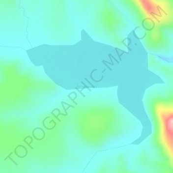
Name: Torreoncillos topographic map, elevation, terrain.
Location: Torreoncillos, Matamoros, Chihuahua, Mexico (26.64812 -105.52734 26.66624 -105.50303)
Average elevation: 5,669 ft
Minimum elevation: 5,541 ft
Maximum elevation: 6,122 ft
Thank you for supporting this site ❤️
Make a donation
Make a donation
Gear up for your next adventure:
As an Amazon Associate, this site earns from qualifying purchases at no extra cost to you.