Geolocate

Seven Springs topographic map

Click on the map to display elevation.

About this map

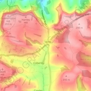
Name: Seven Springs topographic map, elevation, terrain.

Location: Seven Springs, Coberley, Cotswold District, Gloucestershire, England, GL53 9NG, United Kingdom (51.83112 -2.06946 51.87112 -2.02946)

Average elevation: 774 ft

Minimum elevation: 371 ft

Maximum elevation: 978 ft

Other topographic maps

Click on a map to view its topography, its elevation and its terrain.

Gear up for your next adventure:

🥾Men's Hiking Boots - Durable, waterproof footwear for rugged terrain and steep inclines
😴Insulated Sleeping Pads - Compact and warm pads for high-elevation camping
🎒Trekking Poles - Sturdy poles for balance and stability on rough terrain
👓Polarized Sunglasses - Outdoor sunglasses for glare reduction
🔭Telescopic Hiking Pole - Adjustable pole for hiking stability

As an Amazon Associate, this site earns from qualifying purchases at no extra cost to you.