
Make a donation
Gear up for your next adventure:
As an Amazon Associate, this site earns from qualifying purchases at no extra cost to you.
Chäferberg topographic map
Click on the map to display elevation.
Make a donation
Gear up for your next adventure:
As an Amazon Associate, this site earns from qualifying purchases at no extra cost to you.
About this map
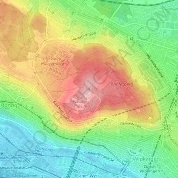
Name: Chäferberg topographic map, elevation, terrain.
Location: Chäferberg, Zürich, Bezirk Zürich, Zürich, 8093, Schweiz (47.40401 8.51567 47.40411 8.51577)
Average elevation: 1,572 ft
Minimum elevation: 1,306 ft
Maximum elevation: 1,906 ft
Make a donation
Gear up for your next adventure:
As an Amazon Associate, this site earns from qualifying purchases at no extra cost to you.
Other topographic maps
Click on a map to view its topography, its elevation and its terrain.
Witikon
Schweiz > Zürich > Bezirk Zürich > Zürich
Ein Beispiel moderner Sakralarchitektur ist die katholische Kirche «Maria Krönung» des Architekten Justus Dahinden. Der Grundriss ist der Hand nachempfunden mit einem Schiff je Finger. Die Wände streben zeltartig in die Höhe, was durch die Auskleidung mit langen Holzbrettern verstärkt wird. Die…
Average elevation: 1,916 ft
Make a donation
Gear up for your next adventure:
As an Amazon Associate, this site earns from qualifying purchases at no extra cost to you.