

Jamison Valley topographic map
Click on the map to display elevation.
Jamison Valley
South of Mount Solitary, the valley sprawls through Cedar and Kedumba Valley down to Coxs River and Lake Burragorang, the lake that was created when Warragamba Dam was built. There is a 3 kilometres (1.9 mi) prohibited area around the river and lake to protect Sydney's water supply. Around this area there is a high-tension power line that crosses the valley from east to west; it is followed by a series of service roads that provide access to the powerline and to the area, although much of it is in the prohibited area. These service roads make it possible to do a trek taking in the whole valley, but it is necessary to get permission from Sydney Water to go through the prohibited area. The Katoomba and Jamison topographic maps are essential for any of these walks.
About this map
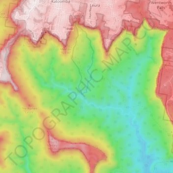
Name: Jamison Valley topographic map, elevation, terrain.
Average elevation: 1,896 ft
Minimum elevation: 509 ft
Maximum elevation: 3,389 ft