
Arcadia topographic map
Click on the map to display elevation.
About this map
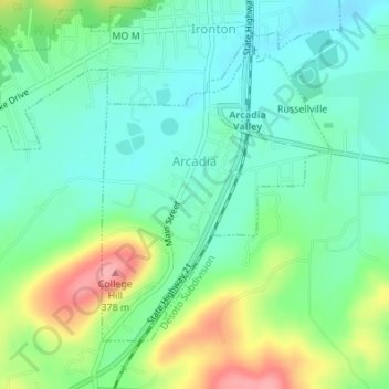
Name: Arcadia topographic map, elevation, terrain.
Location: Arcadia, Iron County, Missouri, United States (37.57560 -90.63716 37.59585 -90.61701)
Average elevation: 984 ft
Minimum elevation: 873 ft
Maximum elevation: 1,230 ft
Iron County trails, hiking, mountain biking, running and outdoor activities
Other topographic maps
Click on a map to view its topography, its elevation and its terrain.
Elephant Rocks State Park
United States > Missouri > Iron County > Graniteville
Average elevation: 1,227 ft