Geolocate

Yellow Springs topographic map

Click on the map to display elevation.

About this map

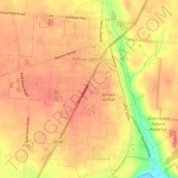
Name: Yellow Springs topographic map, elevation, terrain.

Location: Yellow Springs, Miami Township, Greene County, Ohio, 45387, United States (39.78389 -83.91539 39.81473 -83.87985)

Average elevation: 1,001 ft

Minimum elevation: 846 ft

Maximum elevation: 1,053 ft

Greene County trails, hiking, mountain biking, running and outdoor activities

Other topographic maps

Click on a map to view its topography, its elevation and its terrain.

Washington Mills

United States > Ohio > Greene County

Average elevation: 863 ft

John Bryan State Park

United States > Ohio > Greene County > Clifton

Average elevation: 1,014 ft

New Germany

United States > Ohio > Greene County > Beavercreek > New Germany

Average elevation: 922 ft

Wrightview

United States > Ohio > Greene County > Fairborn

Average elevation: 883 ft

Gear up for your next adventure:

Backpacking Tents - Weight-optimized shelters for multi-day topographic surveys
🪑Portable Camp Table - Compact table for campsite meals
👟Men's Trail Runners - Lightweight footwear for fast-paced exploration and light hiking
🛶Inflatable Kayak - Portable kayak for rivers, lakes, and expeditions
🔥Plasma Lighters - Windproof lighters that work in any weather condition

As an Amazon Associate, this site earns from qualifying purchases at no extra cost to you.