
Thank you for supporting this site ❤️
Make a donation
Make a donation
Gear up for your next adventure:
As an Amazon Associate, this site earns from qualifying purchases at no extra cost to you.
Freiria topographic map
Click on the map to display elevation.
Thank you for supporting this site ❤️
Make a donation
Make a donation
Gear up for your next adventure:
As an Amazon Associate, this site earns from qualifying purchases at no extra cost to you.
About this map
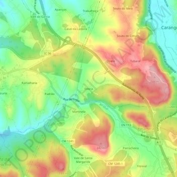
Name: Freiria topographic map, elevation, terrain.
Location: Freiria, Caranguejeira, Leiria, 2410-021, Portugal (39.70983 -8.75398 39.74983 -8.71398)
Average elevation: 525 ft
Minimum elevation: 285 ft
Maximum elevation: 797 ft
Thank you for supporting this site ❤️
Make a donation
Make a donation
Gear up for your next adventure:
As an Amazon Associate, this site earns from qualifying purchases at no extra cost to you.