
子牙河 topographic map
Interactive map
Click on the map to display elevation.
About this map
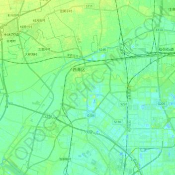
Name: 子牙河 topographic map, elevation, terrain.
Location: 子牙河, 西青区, 天津市, 中国 (39.07290 116.92462 39.17522 117.12314)
Average elevation: 20 ft
Minimum elevation: -13 ft
Maximum elevation: 43 ft
Other topographic maps
Click on a map to view its topography, its elevation and its terrain.