
张家窝镇滨河公园 topographic map
Interactive map
Click on the map to display elevation.
About this map
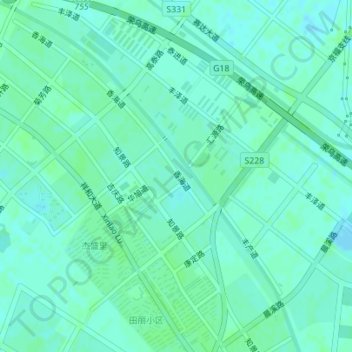
Name: 张家窝镇滨河公园 topographic map, elevation, terrain.
Location: 张家窝镇滨河公园, 西青区, 天津市, 中国 (39.06711 117.03190 39.07265 117.03735)
Average elevation: 13 ft
Minimum elevation: -3 ft
Maximum elevation: 23 ft
Other topographic maps
Click on a map to view its topography, its elevation and its terrain.