
Сохна topographic map
Interactive map
Click on the map to display elevation.
About this map
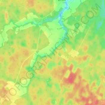
Name: Сохна topographic map, elevation, terrain.
Average elevation: 673 ft
Minimum elevation: 571 ft
Maximum elevation: 758 ft
Other topographic maps
Click on a map to view its topography, its elevation and its terrain.
Сохна
Russia > Moscow > поселение Новофёдоровское
Сохна, поселение Новофёдоровское, Troitsky Administrative Okrug, Moscow, Central Federal District, Russia
Average elevation: 607 ft