
Thank you for supporting this site ❤️
Make a donation
Make a donation
Gear up for your next adventure:
As an Amazon Associate, this site earns from qualifying purchases at no extra cost to you.
Isabella topographic map
Click on the map to display elevation.
Thank you for supporting this site ❤️
Make a donation
Make a donation
Gear up for your next adventure:
As an Amazon Associate, this site earns from qualifying purchases at no extra cost to you.
About this map
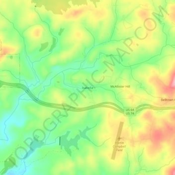
Name: Isabella topographic map, elevation, terrain.
Location: Isabella, Polk County, Tennessee, 37326, United States (35.00786 -84.37520 35.04786 -84.33520)
Average elevation: 1,693 ft
Minimum elevation: 1,496 ft
Maximum elevation: 1,932 ft
Thank you for supporting this site ❤️
Make a donation
Make a donation
Gear up for your next adventure:
As an Amazon Associate, this site earns from qualifying purchases at no extra cost to you.