Geolocate

Lato topographic map

Click on the map to display elevation.

About this map

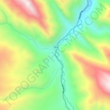
Name: Lato topographic map, elevation, terrain.

Location: Lato, Leh Tehsil, Leh district, Ladakh, India (33.65918 77.70850 33.69918 77.74850)

Average elevation: 14,003 ft

Minimum elevation: 12,661 ft

Maximum elevation: 15,807 ft

Other topographic maps

Click on a map to view its topography, its elevation and its terrain.

Chinese claimed Pangong Tso area

India > Ladakh > Leh Tehsil

Average elevation: 14,308 ft

Gear up for your next adventure:

Solar GPS Watches - Advanced multisport watches with built-in topographic maps
🗻Climbing Gear Basics - Essential gear for beginner climbers
📦Gear Storage Bags - Organize and protect outdoor equipment
📻Weather Alert Radios - Stay informed of storm risks while off-the-grid
🧼Biodegradable Camping Soap - Eco‑friendly soap for outdoor hygiene

As an Amazon Associate, this site earns from qualifying purchases at no extra cost to you.