
Trezaise topographic map
Click on the map to display elevation.
About this map
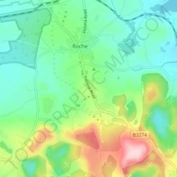
Name: Trezaise topographic map, elevation, terrain.
Location: Trezaise, Roche, Cornwall, England, PL26 8HP, United Kingdom (50.37760 -4.85019 50.41760 -4.81019)
Average elevation: 643 ft
Minimum elevation: 407 ft
Maximum elevation: 1,178 ft
Other topographic maps
Click on a map to view its topography, its elevation and its terrain.