
North Peak topographic map
Interactive map
Click on the map to display elevation.
About this map
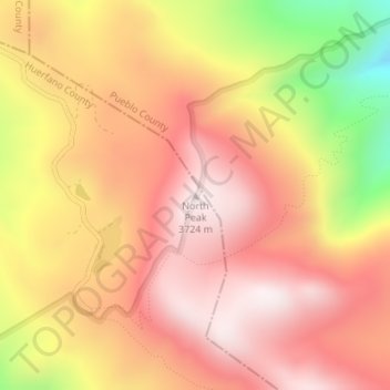
Name: North Peak topographic map, elevation, terrain.
Location: North Peak, Huerfano County, Colorado, United States (37.90162 -105.03226 37.90172 -105.03216)
Average elevation: 11,375 ft
Minimum elevation: 9,806 ft
Maximum elevation: 12,247 ft
Huerfano County trails, hiking, mountain biking, running and outdoor activities