
Deception Bay topographic map
Click on the map to display elevation.
About this map
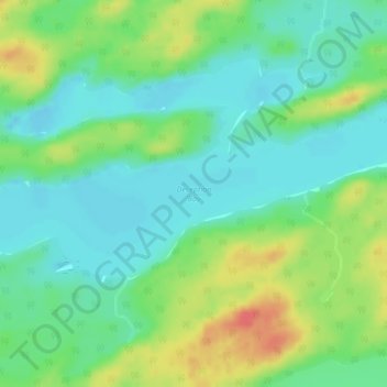
Name: Deception Bay topographic map, elevation, terrain.
Average elevation: 1,220 ft
Minimum elevation: 1,158 ft
Maximum elevation: 1,335 ft
Other topographic maps
Click on a map to view its topography, its elevation and its terrain.
Obrey Lake
Canada > Ontario > Kenora District > Unorganized Kenora District
Average elevation: 1,253 ft
Alguire Lake
Canada > Ontario > Kenora District > Unorganized Kenora District
Average elevation: 1,033 ft