Geolocate

Kansa topographic map

Click on the map to display elevation.

About this map

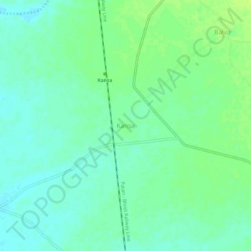
Name: Kansa topographic map, elevation, terrain.

Location: Kansa, Saraswati Taluka, Patan, Gujarat, India (23.90175 72.04861 23.94175 72.08861)

Average elevation: 246 ft

Minimum elevation: 226 ft

Maximum elevation: 269 ft

Gear up for your next adventure:

📦Dry Bags Set - Waterproof storage for electronics and clothes
🎒Outdoor Daypacks - Lightweight backpacks designed for carrying maps and essential gear
Camping Coffee Makers - Enjoy premium coffee at the summit or campsite
📻Weather Alert Radios - Stay informed of storm risks while off-the-grid
🧣Hiking Neck Gaiter - Multi‑use neck protection for outdoor weather

As an Amazon Associate, this site earns from qualifying purchases at no extra cost to you.