
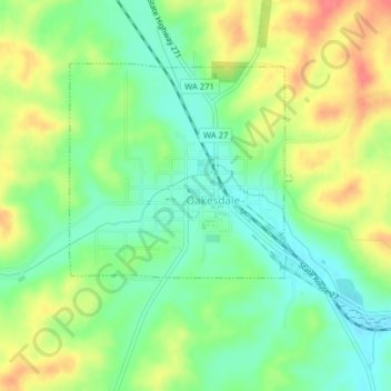
Oaksdale City Park topographic map
Interactive map
Click on the map to display elevation.
About this map
Name: Oaksdale City Park topographic map, elevation, terrain.
Average elevation: 2,523 ft
Minimum elevation: 2,434 ft
Maximum elevation: 2,641 ft
Whitman County trails, hiking, mountain biking, running and outdoor activities