
Lens Lake topographic map
Click on the map to display elevation.
About this map
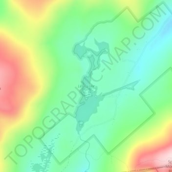
Name: Lens Lake topographic map, elevation, terrain.
Average elevation: 2,011 ft
Minimum elevation: 1,673 ft
Maximum elevation: 2,621 ft
Warren County trails, hiking, mountain biking, running and outdoor activities
Other topographic maps
Click on a map to view its topography, its elevation and its terrain.
Big Bear Mountain
United States > New York > Warren County > Town of Johnsburg
Average elevation: 2,021 ft
French Mountain
United States > New York > Warren County > Town of Queensbury
Average elevation: 1,040 ft
Thirteenth Lake
United States > New York > Warren County > Town of Johnsburg
Average elevation: 1,962 ft
Windover Lake
United States > New York > Warren County > Town of Johnsburg
Average elevation: 1,634 ft
Moon Mountain
United States > New York > Warren County > Town of Warrensburg
Average elevation: 863 ft