
Thank you for supporting this site ❤️
Make a donation
Make a donation
Gear up for your next adventure:
As an Amazon Associate, this site earns from qualifying purchases at no extra cost to you.
Jog Falls topographic map
Click on the map to display elevation.
Thank you for supporting this site ❤️
Make a donation
Make a donation
Gear up for your next adventure:
As an Amazon Associate, this site earns from qualifying purchases at no extra cost to you.
About this map
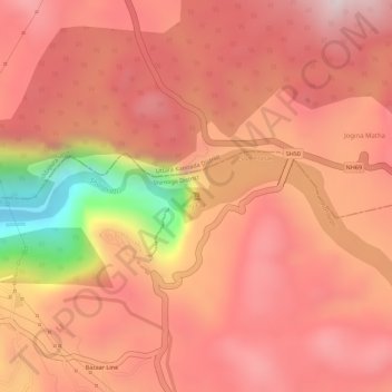
Name: Jog Falls topographic map, elevation, terrain.
Location: Jog Falls, Sagara taluk, Shimoga, Karnataka, India (14.22925 74.81226 14.22935 74.81236)
Average elevation: 1,575 ft
Minimum elevation: 413 ft
Maximum elevation: 2,014 ft
Thank you for supporting this site ❤️
Make a donation
Make a donation
Gear up for your next adventure:
As an Amazon Associate, this site earns from qualifying purchases at no extra cost to you.