
Springville topographic map
Click on the map to display elevation.
About this map
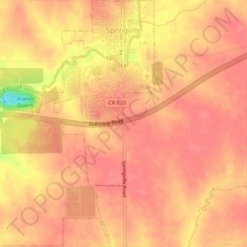
Name: Springville topographic map, elevation, terrain.
Location: Springville, Linn County, Iowa, 52336, United States (42.03459 -91.47271 42.06370 -91.43842)
Average elevation: 869 ft
Minimum elevation: 686 ft
Maximum elevation: 915 ft
Linn County trails, hiking, mountain biking, running and outdoor activities
Other topographic maps
Click on a map to view its topography, its elevation and its terrain.