
Victor topographic map
Click on the map to display elevation.
Victor
Victor is located at 43°36′11″N 111°6′44″W / 43.60306°N 111.11222°W / 43.60306; -111.11222 (43.602945, -111.112343), at an elevation of 6,214 feet (1,894 m) above sea level.
About this map
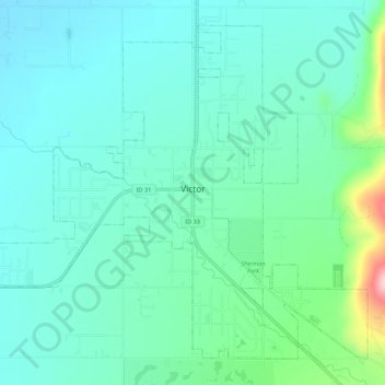
Name: Victor topographic map, elevation, terrain.
Location: Victor, Teton County, Idaho, 83455, United States (43.58494 -111.14126 43.61947 -111.08640)
Average elevation: 6,217 ft
Minimum elevation: 6,079 ft
Maximum elevation: 6,762 ft
Teton County trails, hiking, mountain biking, running and outdoor activities
Other topographic maps
Click on a map to view its topography, its elevation and its terrain.