
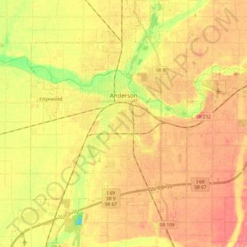
Anderson topographic map
Click on the map to display elevation.
About this map
Name: Anderson topographic map, elevation, terrain.
Location: Anderson, Madison County, Indiana, United States (40.01943 -85.76314 40.15916 -85.60099)
Average elevation: 892 ft
Minimum elevation: 758 ft
Maximum elevation: 974 ft
Madison County trails, hiking, mountain biking, running and outdoor activities
Other topographic maps
Click on a map to view its topography, its elevation and its terrain.