
Thank you for supporting this site ❤️
Make a donation
Make a donation
Gear up for your next adventure:
As an Amazon Associate, this site earns from qualifying purchases at no extra cost to you.
Osoli topographic map
Click on the map to display elevation.
Thank you for supporting this site ❤️
Make a donation
Make a donation
Gear up for your next adventure:
As an Amazon Associate, this site earns from qualifying purchases at no extra cost to you.
About this map
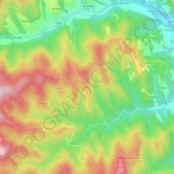
Name: Osoli topographic map, elevation, terrain.
Location: Osoli, Roccafluvione, Ascoli Piceno, Marche, 63093, Italia (42.83133 13.42408 42.87133 13.46408)
Average elevation: 1,663 ft
Minimum elevation: 922 ft
Maximum elevation: 2,543 ft
Thank you for supporting this site ❤️
Make a donation
Make a donation
Gear up for your next adventure:
As an Amazon Associate, this site earns from qualifying purchases at no extra cost to you.