Geolocate

Driscoll topographic map

Click on the map to display elevation.

About this map

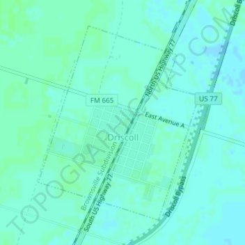
Name: Driscoll topographic map, elevation, terrain.

Location: Driscoll, Nueces County, Texas, 78351, United States (27.66264 -97.76110 27.68402 -97.74114)

Average elevation: 66 ft

Minimum elevation: 56 ft

Maximum elevation: 75 ft

Nueces County trails, hiking, mountain biking, running and outdoor activities

Gear up for your next adventure:

🥩Freeze-Dried Meals - Nutritious and lightweight food for remote expeditions
🥤Water Filter Bottle - All‑in‑one filter bottle for safe hydration
🎒Gear Packing Cubes - Organize your backpack efficiently
🔦Powerful Headlamps - Ultra-bright hands-free lighting for night navigation
🧯Emergency Survival Kit - All‑in‑one survival essentials for the backcountry

As an Amazon Associate, this site earns from qualifying purchases at no extra cost to you.