
Pamukova topographic map
Interactive map
Click on the map to display elevation.
About this map
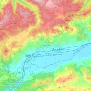
Name: Pamukova topographic map, elevation, terrain.
Location: Pamukova, Sakarya, Marmara Region, 54900, Turkey (40.42113 29.96698 40.60786 30.26905)
Average elevation: 1,857 ft
Minimum elevation: 210 ft
Maximum elevation: 4,954 ft
Other topographic maps
Click on a map to view its topography, its elevation and its terrain.