
Thank you for supporting this site ❤️
Make a donation
Make a donation
Gear up for your next adventure:
As an Amazon Associate, this site earns from qualifying purchases at no extra cost to you.
Dixi topographic map
Click on the map to display elevation.
Thank you for supporting this site ❤️
Make a donation
Make a donation
Gear up for your next adventure:
As an Amazon Associate, this site earns from qualifying purchases at no extra cost to you.
About this map
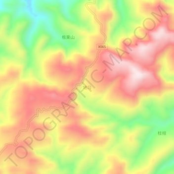
Name: Dixi topographic map, elevation, terrain.
Location: Dixi, Xinhuang Dong Autonomous County, Huaihua, Hunan, China (27.20266 109.01689 27.24266 109.05689)
Average elevation: 2,470 ft
Minimum elevation: 1,598 ft
Maximum elevation: 3,146 ft
Thank you for supporting this site ❤️
Make a donation
Make a donation
Gear up for your next adventure:
As an Amazon Associate, this site earns from qualifying purchases at no extra cost to you.