
Thank you for supporting this site ❤️
Make a donation
Make a donation
Gear up for your next adventure:
As an Amazon Associate, this site earns from qualifying purchases at no extra cost to you.
Maoussa topographic map
Click on the map to display elevation.
Thank you for supporting this site ❤️
Make a donation
Make a donation
Gear up for your next adventure:
As an Amazon Associate, this site earns from qualifying purchases at no extra cost to you.
About this map
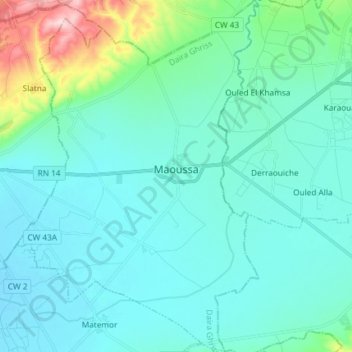
Name: Maoussa topographic map, elevation, terrain.
Location: Maoussa, Ghriss District, Mascara, Algeria (35.31611 0.17934 35.43603 0.28036)
Average elevation: 1,693 ft
Minimum elevation: 1,532 ft
Maximum elevation: 2,615 ft
Thank you for supporting this site ❤️
Make a donation
Make a donation
Gear up for your next adventure:
As an Amazon Associate, this site earns from qualifying purchases at no extra cost to you.