
Thank you for supporting this site ❤️
Make a donation
Make a donation
Gear up for your next adventure:
As an Amazon Associate, this site earns from qualifying purchases at no extra cost to you.
Roccaranieri topographic map
Click on the map to display elevation.
Thank you for supporting this site ❤️
Make a donation
Make a donation
Gear up for your next adventure:
As an Amazon Associate, this site earns from qualifying purchases at no extra cost to you.
About this map
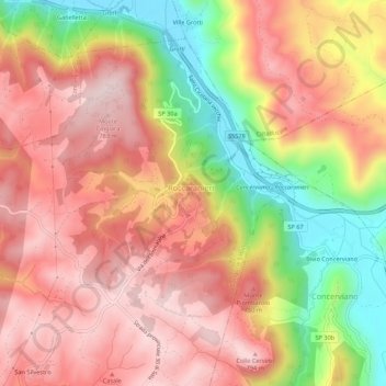
Name: Roccaranieri topographic map, elevation, terrain.
Location: Roccaranieri, Longone Sabino, Rieti, Lazio, Italia (42.31361 12.94564 42.35361 12.98564)
Average elevation: 2,103 ft
Minimum elevation: 1,332 ft
Maximum elevation: 2,612 ft
Thank you for supporting this site ❤️
Make a donation
Make a donation
Gear up for your next adventure:
As an Amazon Associate, this site earns from qualifying purchases at no extra cost to you.