
Stayton topographic map
Click on the map to display elevation.
About this map
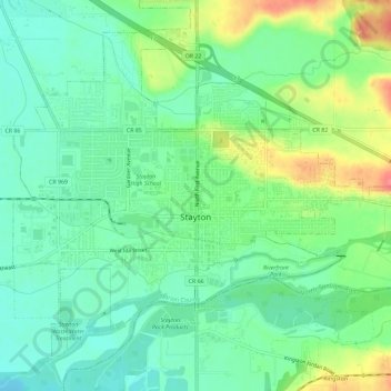
Name: Stayton topographic map, elevation, terrain.
Location: Stayton, Marion County, Oregon, 97383, United States (44.78577 -122.82156 44.82003 -122.76372)
Average elevation: 463 ft
Minimum elevation: 387 ft
Maximum elevation: 610 ft
Marion County trails, hiking, mountain biking, running and outdoor activities
Other topographic maps
Click on a map to view its topography, its elevation and its terrain.