Geolocate

Newburgh topographic map

Click on the map to display elevation.

About this map

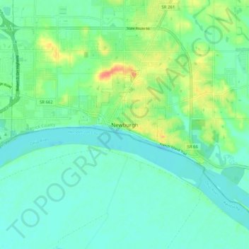
Name: Newburgh topographic map, elevation, terrain.

Location: Newburgh, Warrick County, Indiana, 47630-1234, United States (37.90568 -87.44466 37.98568 -87.36466)

Average elevation: 394 ft

Minimum elevation: 344 ft

Maximum elevation: 525 ft

Warrick County trails, hiking, mountain biking, running and outdoor activities

Gear up for your next adventure:

🧤Tactile Hiking Gloves - Keep hands warm while operating GPS and smartphone screens
📷Action Cameras - Rugged cameras to document your journeys across rugged terrain
🪶Camping Sleeping Pad - Comfortable sleeping pad for backpacking
🎒Waterproof Dry Bags - Keep your electronics and maps dry inside your pack
🗻Climbing Gear Basics - Essential gear for beginner climbers

As an Amazon Associate, this site earns from qualifying purchases at no extra cost to you.