Geolocate

Karapuzha topographic map

Click on the map to display elevation.

About this map

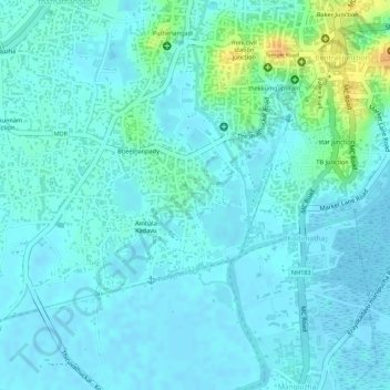
Name: Karapuzha topographic map, elevation, terrain.

Location: Karapuzha, Kottayam, Kerala, India (9.57485 76.50699 9.58579 76.51606)

Average elevation: 23 ft

Minimum elevation: -10 ft

Maximum elevation: 108 ft

Gear up for your next adventure:

🧯Portable Fire Pit - Compact fire pit for camping spots
🏕️Tent Footprint - Protect your tent base from wear
📻Weather Alert Radios - Stay informed of storm risks while off-the-grid
👟Trail Running Shoes - Lightweight shoes for trail runners
🧭GPS Watch Accessories - Bands and chargers for GPS watches

As an Amazon Associate, this site earns from qualifying purchases at no extra cost to you.