
Bura West topographic map
Interactive map
Click on the map to display elevation.
About this map
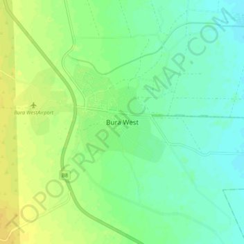
Name: Bura West topographic map, elevation, terrain.
Location: Bura West, Tana River County, Coastal Kenya, Kenya (-1.23433 39.80347 -1.15433 39.88347)
Average elevation: 341 ft
Minimum elevation: 308 ft
Maximum elevation: 377 ft
Other topographic maps
Click on a map to view its topography, its elevation and its terrain.