Geolocate

Maya topographic map

Click on the map to display elevation.

About this map

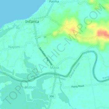
Name: Maya topographic map, elevation, terrain.

Location: Maya, Infanta, Pangasinan, Ilocos Region, 2412, Philippines (15.80682 119.90426 15.82327 119.93885)

Average elevation: 33 ft

Minimum elevation: 0 ft

Maximum elevation: 141 ft

Gear up for your next adventure:

🚁Photography Drones - Capture stunning aerial views of landforms and topography
👟Men's Trail Runners - Lightweight footwear for fast-paced exploration and light hiking
🥘Titanium Cookware - Durable, featherlight pots and pans for backpacking
🛰️Handheld GPS Units - Professional satellite navigators for precise backcountry mapping
🌧️Backpack Rain Cover - Keep gear dry in wet weather

As an Amazon Associate, this site earns from qualifying purchases at no extra cost to you.