
Oka topographic map
Interactive map
Click on the map to display elevation.
About this map
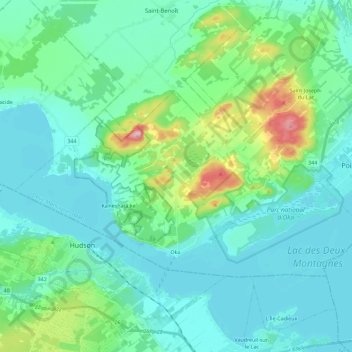
Name: Oka topographic map, elevation, terrain.
Location: Oka, Deux-Montagnes, Laurentides, Quebec, J0N 1E0, Canada (45.44990 -74.19479 45.54124 -73.96694)
Average elevation: 190 ft
Minimum elevation: 56 ft
Maximum elevation: 791 ft