
梁子湖 topographic map
Interactive map
Click on the map to display elevation.
About this map
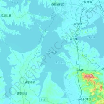
Name: 梁子湖 topographic map, elevation, terrain.
Location: 梁子湖, 鄂州市, 湖北省, 中国 (30.10500 114.35560 30.32553 114.64570)
Average elevation: 92 ft
Minimum elevation: 39 ft
Maximum elevation: 1,273 ft
Other topographic maps
Click on a map to view its topography, its elevation and its terrain.