
路環山頂公園 Jardim de Alto de Coloane topographic map
Interactive map
Click on the map to display elevation.
About this map
Name: 路環山頂公園 Jardim de Alto de Coloane topographic map, elevation, terrain.
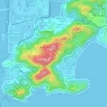
Location: 路環山頂公園 Jardim de Alto de Coloane, 石排灣, 路環, 澳門, 中国 (22.12231 113.56398 22.12241 113.56408)
Average elevation: 98 ft
Minimum elevation: -16 ft
Maximum elevation: 505 ft
Other topographic maps
Click on a map to view its topography, its elevation and its terrain.