
Thank you for supporting this site ❤️
Make a donation
Make a donation
Gear up for your next adventure:
As an Amazon Associate, this site earns from qualifying purchases at no extra cost to you.
Kuttoor topographic map
Click on the map to display elevation.
Thank you for supporting this site ❤️
Make a donation
Make a donation
Gear up for your next adventure:
As an Amazon Associate, this site earns from qualifying purchases at no extra cost to you.
About this map
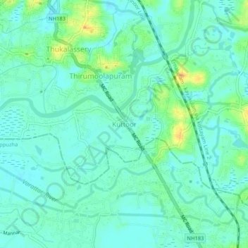
Name: Kuttoor topographic map, elevation, terrain.
Location: Kuttoor, Thiruvalla, Pathanamthitta, Kerala, 689106, India (9.33879 76.56810 9.37879 76.60810)
Average elevation: 26 ft
Minimum elevation: -3 ft
Maximum elevation: 95 ft
Thank you for supporting this site ❤️
Make a donation
Make a donation
Gear up for your next adventure:
As an Amazon Associate, this site earns from qualifying purchases at no extra cost to you.