Geolocate

Losar topographic map

Click on the map to display elevation.

About this map

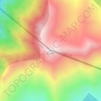
Name: Losar topographic map, elevation, terrain.

Location: Losar, Gurez, Bandipore district, Jammu and Kashmir, India (34.70574 74.65094 34.70584 74.65104)

Average elevation: 11,808 ft

Minimum elevation: 9,902 ft

Maximum elevation: 13,215 ft

Gear up for your next adventure:

📚USA Hiking Guide Books - Top trail guides and map books
📷Action Cameras - Rugged cameras to document your journeys across rugged terrain
👟Men's Trail Runners - Lightweight footwear for fast-paced exploration and light hiking
🛏️Cold Weather Sleeping Bag - Warm sleeping bag for cold conditions
🥾Women's Hiking Boots - Top-rated trail boots with ankle support and superior grip

As an Amazon Associate, this site earns from qualifying purchases at no extra cost to you.