
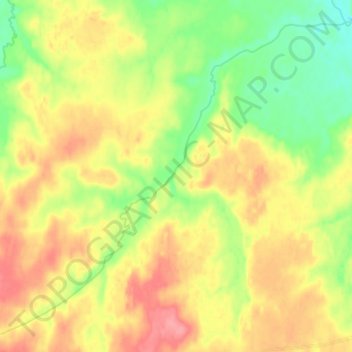
Камчатка topographic map
Interactive map
Click on the map to display elevation.
About this map
Name: Камчатка topographic map, elevation, terrain.
Average elevation: 591 ft
Minimum elevation: 479 ft
Maximum elevation: 705 ft
Like most of its namesake peninsula, the basin of the Kamchatka River has at low altitudes a subarctic climate (Köppen Dfc) with short, cool to comfortable summers and freezing, snowy winters.