
Thank you for supporting this site ❤️
Make a donation
Make a donation
Gear up for your next adventure:
As an Amazon Associate, this site earns from qualifying purchases at no extra cost to you.
Simmesport topographic map
Click on the map to display elevation.
Thank you for supporting this site ❤️
Make a donation
Make a donation
Gear up for your next adventure:
As an Amazon Associate, this site earns from qualifying purchases at no extra cost to you.
About this map
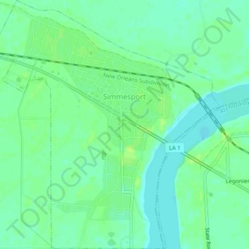
Name: Simmesport topographic map, elevation, terrain.
Location: Simmesport, Avoyelles Parish, Louisiana, United States (30.96483 -91.83094 30.99655 -91.79652)
Average elevation: 46 ft
Minimum elevation: 23 ft
Maximum elevation: 69 ft
Thank you for supporting this site ❤️
Make a donation
Make a donation
Gear up for your next adventure:
As an Amazon Associate, this site earns from qualifying purchases at no extra cost to you.