Geolocate

Bukal topographic map

Click on the map to display elevation.

About this map

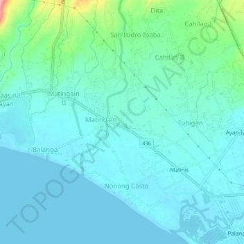
Name: Bukal topographic map, elevation, terrain.

Location: Bukal, Lemery, Batangas, Calabarzon, 4209, Philippines (13.88830 120.87055 13.92830 120.91055)

Average elevation: 72 ft

Minimum elevation: 0 ft

Maximum elevation: 433 ft

Gear up for your next adventure:

🗃️Trail First Aid Kit - Essential kit for outdoor injuries and emergencies
🏔️Mountain Trail Maps - High‑detail maps for popular peaks
🥾Hiking Shoes - Durable and comfortable shoes for trail hiking
📻Weather Alert Radios - Stay informed of storm risks while off-the-grid
📱Heavy-Duty Phone Cases - Drop-proof and waterproof protection for outdoor navigation

As an Amazon Associate, this site earns from qualifying purchases at no extra cost to you.