
York topographic map
Click on the map to display elevation.
York
York is in Jackson County, at latitude 44.5 and longitude −91.145 and at an elevation of 896 feet. It appears on the Pigeon Falls U.S Geological Survey Map and is in the Central Time Zone.
About this map
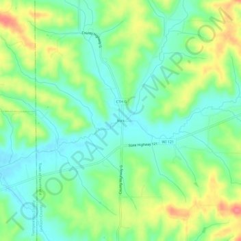
Name: York topographic map, elevation, terrain.
Average elevation: 971 ft
Minimum elevation: 883 ft
Maximum elevation: 1,122 ft
Jackson County trails, hiking, mountain biking, running and outdoor activities