
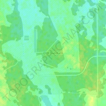
CFB Dundurn topographic map
Interactive map
Click on the map to display elevation.
About this map
Name: CFB Dundurn topographic map, elevation, terrain.
Location: CFB Dundurn, Dundurn No. 314, Saskatchewan, Canada (51.83392 -106.57116 51.87392 -106.53116)
Average elevation: 1,713 ft
Minimum elevation: 1,690 ft
Maximum elevation: 1,739 ft