
Cairani topographic map
Click on the map to display elevation.
About this map
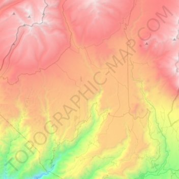
Name: Cairani topographic map, elevation, terrain.
Location: Cairani, Provincia de Candarave, Tacna, Perú (-17.34738 -70.43725 -17.04263 -70.28708)
Average elevation: 13,196 ft
Minimum elevation: 7,028 ft
Maximum elevation: 18,104 ft