
Roxborough Park topographic map
Interactive map
Click on the map to display elevation.
About this map
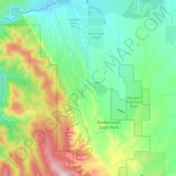
Name: Roxborough Park topographic map, elevation, terrain.
Average elevation: 6,194 ft
Minimum elevation: 5,495 ft
Maximum elevation: 7,556 ft
Douglas County trails, hiking, mountain biking, running and outdoor activities