
PALLATOTAPADA topographic map
Click on the map to display elevation.
About this map
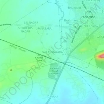
Name: PALLATOTAPADA topographic map, elevation, terrain.
Location: PALLATOTAPADA, Khordha, Odisha, 752055, India (20.13922 85.57869 20.17922 85.61869)
Average elevation: 187 ft
Minimum elevation: 108 ft
Maximum elevation: 486 ft
Other topographic maps
Click on a map to view its topography, its elevation and its terrain.