
Sarnadas de Ródão topographic map
Interactive map
Click on the map to display elevation.
About this map
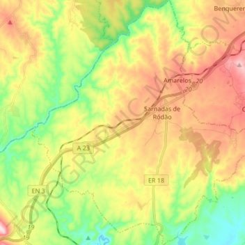
Name: Sarnadas de Ródão topographic map, elevation, terrain.
Average elevation: 938 ft
Minimum elevation: 364 ft
Maximum elevation: 1,644 ft
Other topographic maps
Click on a map to view its topography, its elevation and its terrain.
Perais
Portugal > Castelo Branco > Vila Velha de Ródão > Perais
Perais, Vila Velha de Ródão, Castelo Branco, Portugal
Average elevation: 515 ft