
Collini topographic map
Interactive map
Click on the map to display elevation.
About this map
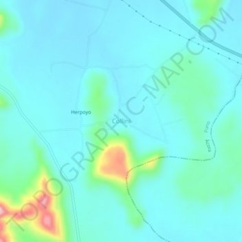
Name: Collini topographic map, elevation, terrain.
Location: Collini, Ácora, Puno, Perú (-16.09803 -69.72376 -16.05803 -69.68376)
Average elevation: 12,694 ft
Minimum elevation: 12,582 ft
Maximum elevation: 13,281 ft
Other topographic maps
Click on a map to view its topography, its elevation and its terrain.